
Iceland mountains: the best hikes, highest peaks and travel tips
By Eva Alkemade
Jul 25, 2026
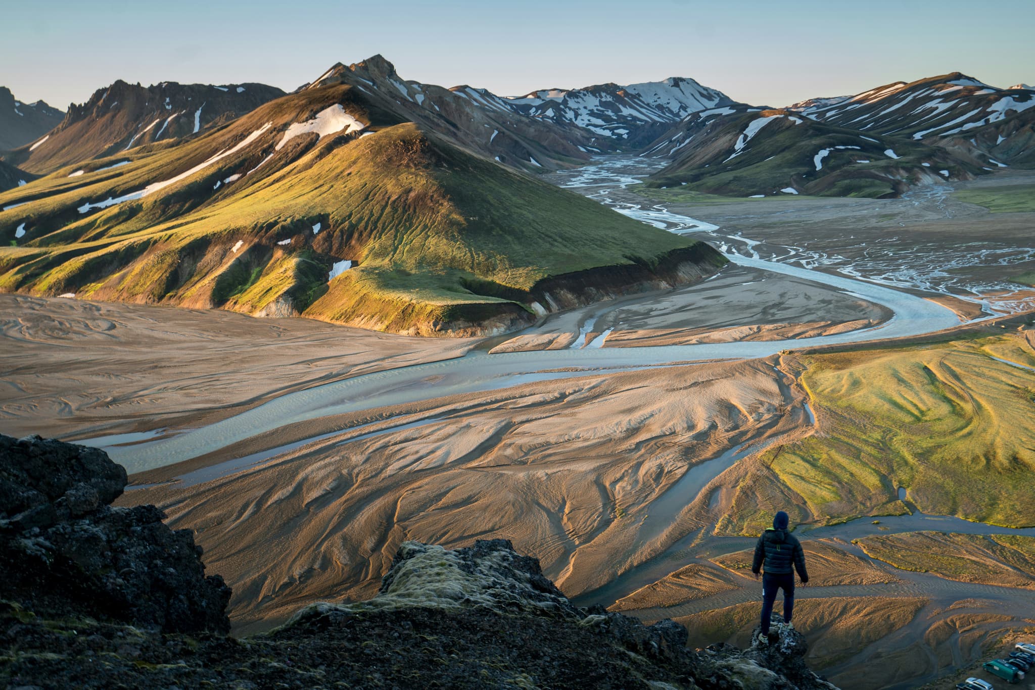
Iceland's mountains are unlike anywhere else in Europe. You can hike across colourful rhyolite peaks, climb volcanic cones rising from black lava fields or stand beneath glaciers covering some of the country's highest summits. Many of these landscapes were shaped by volcanic eruptions beneath thick ice during the last Ice Age, creating mountain formations found almost nowhere else on Earth. In this guide, we'll help you discover the highest peaks, the most beautiful viewpoints and the best hikes, along with practical travel tips for planning your route.
Iceland’s mountains at a glance
Short on time? Here's what you need to know about Iceland’s mountains before you start planning routes and travel days.
Hvannadalshnukur is the highest peak in Iceland at 2,110 metres, marking the highest point in Iceland.
Mount Esja is the easiest Icelandic mountain to reach from Reykjavik, with marked trails for all fitness levels.
Herdubreid and other flat-topped Icelandic mountains formed underneath glaciers during the last Ice Age.
Kirkjufell is the most beautiful mountain in Iceland, along with a waterfall right next to it.
June to August works best for hiking, and November to March suits skiing.
Because two tectonic plates run straight through Iceland, its mountains end up looking completely different from one region to the next. Pyramids of ice, table topped volcanoes, near-perfect cones and ridgelines painted in red and yellow all exist on one fairly small island. This guide gets into how you actually travel to each mountain in Iceland, which trails you can walk, and when a trip out there makes sense.
Easy to reach mountains near Reykjavik
You don't have to drive deep into Iceland's Highlands to experience impressive mountain scenery. Within an hour or two of Reykjavik, you'll find several Icelandic mountains with well-marked hiking trails, viewpoints and landscapes that are perfect for a half or full day trip.
Mount Esja
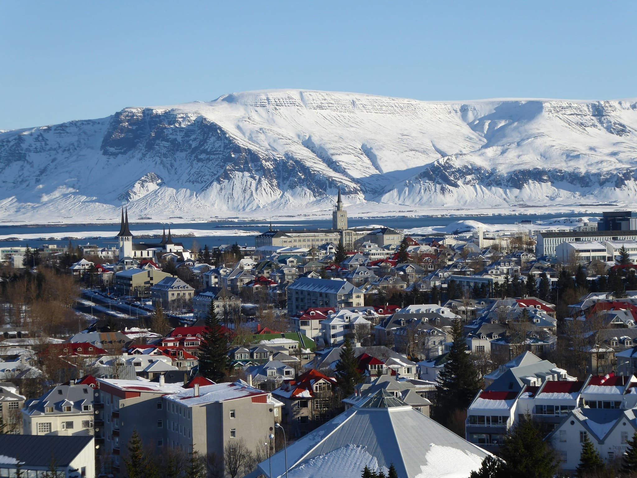
Some of Iceland's best-known hiking trails start right on Mount Esja, just north of Reykjavik, giving you a proper hike without a long drive beforehand. The most popular route climbs to Thverfellshorn, and it takes around three hours to hike. From the city centre, buses run out to the trailhead, and about halfway up you'll pass Steinn, a rock formation that makes a good spot to catch your breath before the steeper section.
Curious when these mountains look their best under an aurora instead of daylight? Our guide to the northern lights in Iceland covers the months and conditions that give you the best odds of seeing green skies over a mountain like this.
Keilir and Akrafjall
Keilir stands out on the Reykjanes Peninsula with a pointed summit that's easy to pick out on the horizon, and a short marked trail takes you straight to the top in under an hour each way. Akrafjall, a ridge visible from the capital on clear days, works well as a second half-day hike.
Wondering what else fills a day around the capital? Our guide to things to do in Iceland has plenty of ideas for pairing a mountain morning with an afternoon in the city.
Did You Know: On a clear day you can spot Esja, Keilir and even Snaefellsjokull from different points around Reykjavik, all without leaving the city.
The most beautiful mountains in Iceland
Iceland is home to hundreds of mountains, but only a handful have become must-see landmarks. These are some of the country's most beautiful peaks to visit.
Kirkjufell
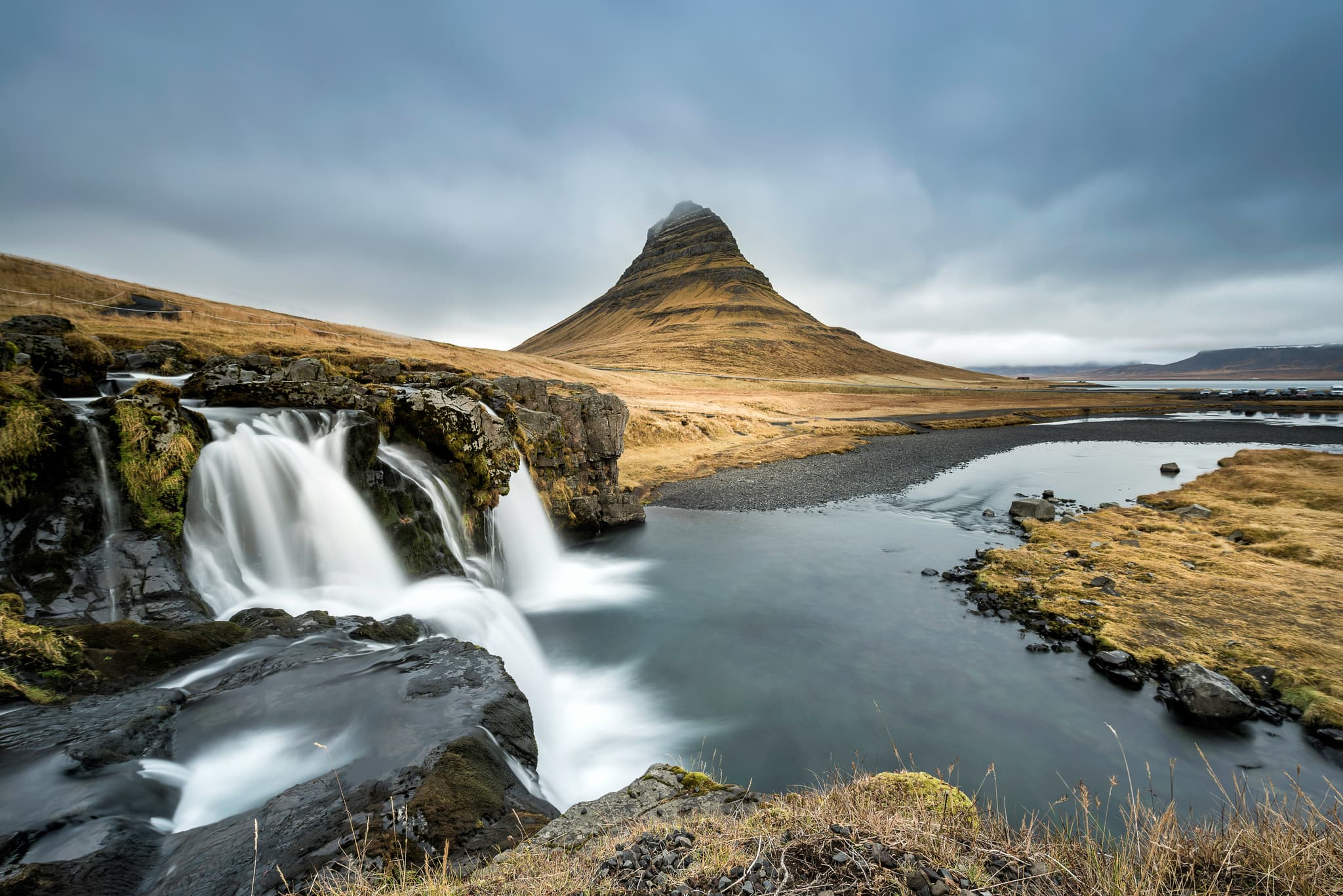
Kirkjufell rises on the Snaefellsnes Peninsula with a near perfect cone shaped summit that has made it one of the most recognisable peaks in Iceland. A viewing platform stands right by the road next to Kirkjufellsfoss waterfall, so you don't need to hike far. The drive from Reykjavik takes about two and a half hours. Few sights beat this peak in Iceland for a sunrise photo, particularly with the waterfall in the same frame.
Vestrahorn
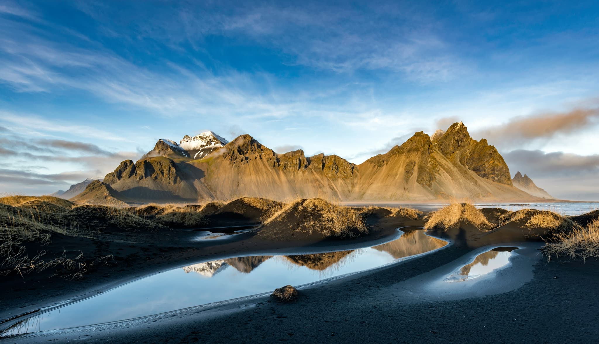
Driving along Iceland's southeast coast, Vestrahorn is almost impossible to miss. The mountain's sharp, dark peaks tower above the black sand beach, making it one of the country's most recognisable landscapes. A small entrance fee at the Viking Café gives you access to the beach, and it's well worth arriving early or staying late for the best light.
Reynisfjall
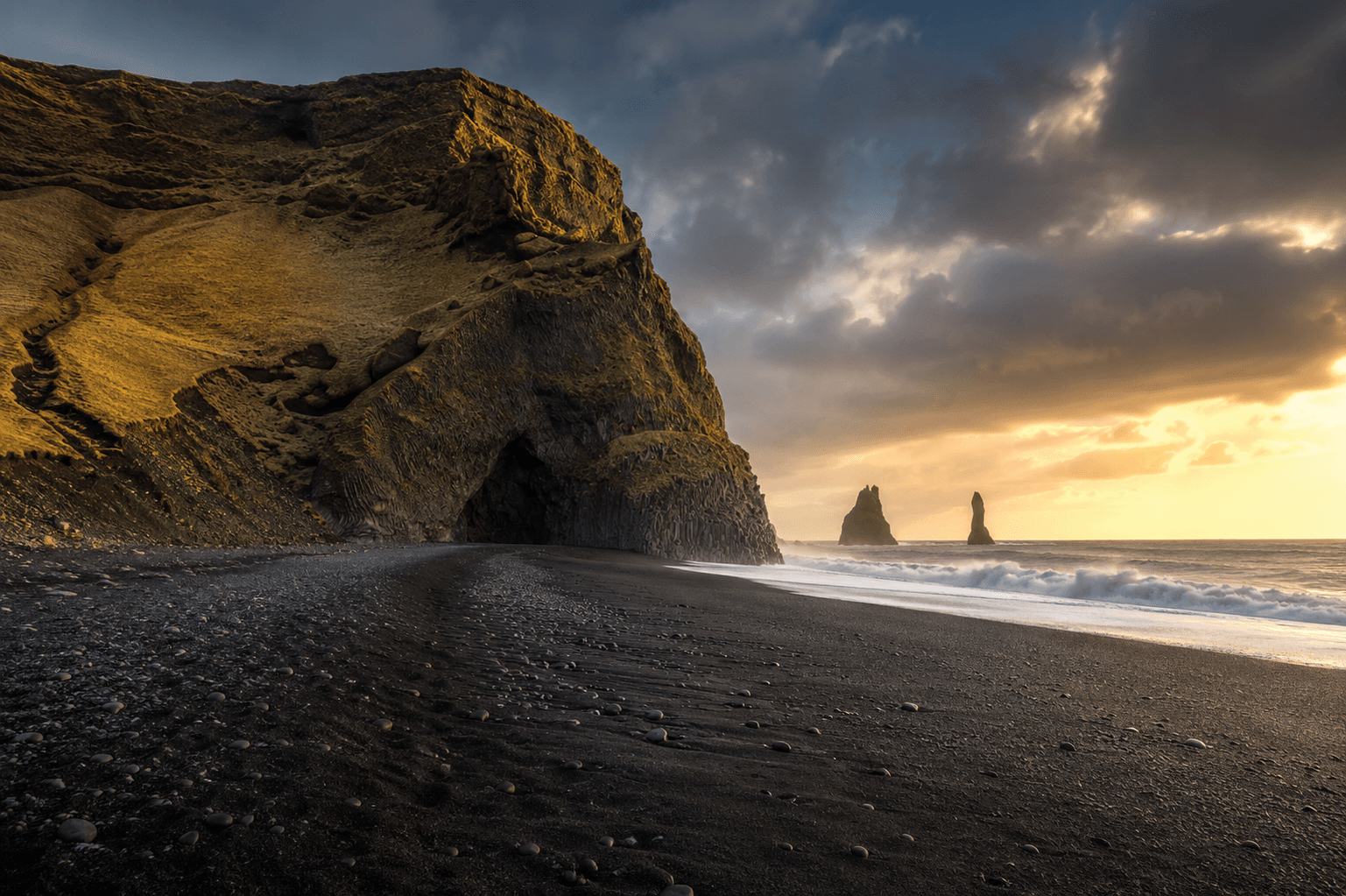
Reynisfjall is the mountain rising above Reynisfjara, Iceland's famous black sand beach near Vík. Most people come for the beach, but it's worth making the short drive or hike up the ridge as well. From the top, you'll look out over the crashing Atlantic Ocean, the black shoreline and the Reynisdrangar sea stacks just offshore. Best of all, it's right beside the Ring Road, so adding it to your South Coast itinerary takes very little extra time.
Planning to drive the full Ring Road? Take a look at our Iceland Ring Road itinerary for the best stops, driving times and travel tips.
The highest peak in Iceland (for experienced hikers)
So what is the highest peak in Iceland? Hvannadalshnukur takes that title, and getting to the top is a proper undertaking rather than an afternoon walk. Here's what that climb actually involves, and what lies beneath it.
Hvannadalshnukur, Iceland's tallest mountain
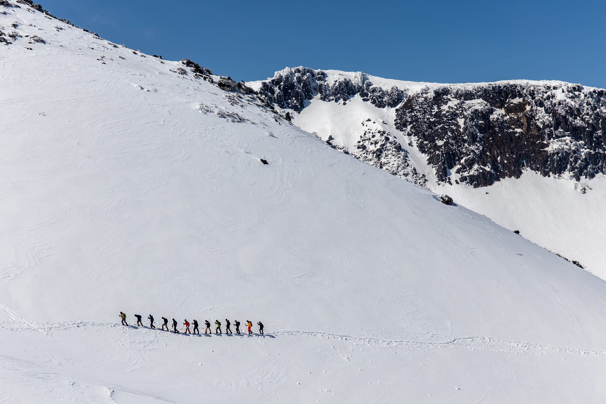
Hvannadalshnukur reaches 2,110 metres, making it the highest mountain in Iceland and the tallest peak in Vatnajokull National Park in the southeast. Its pyramid shaped summit stays under ice all year, and you can spot it from the Ring Road between Hofn and Vik on a clear day. This is also the tallest mountain in Iceland climbers use to test themselves against, since the terrain, not the height, is what makes the climb hard.
The drive from Reykjavik takes about four and a half to five hours by car along Route 1. Climbs usually start from the Sandfell parking area, and guides take groups up across the Virkisjokull glacier before the final push to the highest point of Iceland. Budget for twelve to sixteen hours round trip, decent physical fitness, and gear that can handle steep, icy ground. Crevasses hide along the route, so climbing without a guide isn't something we'd recommend to anyone without real glacier experience.
Oraefajokull, the volcano underneath
Hvannadalshnukur actually rises from the rim of the Oraefajokull volcano, which has produced two major volcanic eruptions in recorded history, in 1362 and 1727. The 1362 eruption was so destructive that it wiped out nearby farms and left the surrounding area abandoned for years. This devastation gave the region its name, Öræfi, meaning "wasteland" or "deserted land" in Icelandic.
The glacier usually steals the spotlight, but the volcano beneath it tells an equally fascinating story. Hvannadalshnukur rises directly from the rim of Oraefajokull, one of Iceland's most powerful volcanic systems.
Wondering when the weather cooperates enough for a climb like this? Our guide to the best time to visit Iceland breaks down month-by-month conditions across the country, which helps a lot when you're picking a date for something this weather-dependent.
Guided tip: Book your Hvannadalshnukur guide months ahead if you're travelling in peak summer, and check glacier conditions the week before you go, since routes can change depending on snow cover.
Iceland's second and third highest mountains (for experienced hikers)
Only three mountains in Iceland rise above 2,000 metres. While Hvannadalshnukur is the best-known, Iceland's second and third highest peaks are equally fascinating. So where can you see them?
Bardarbunga, the sleeping giant
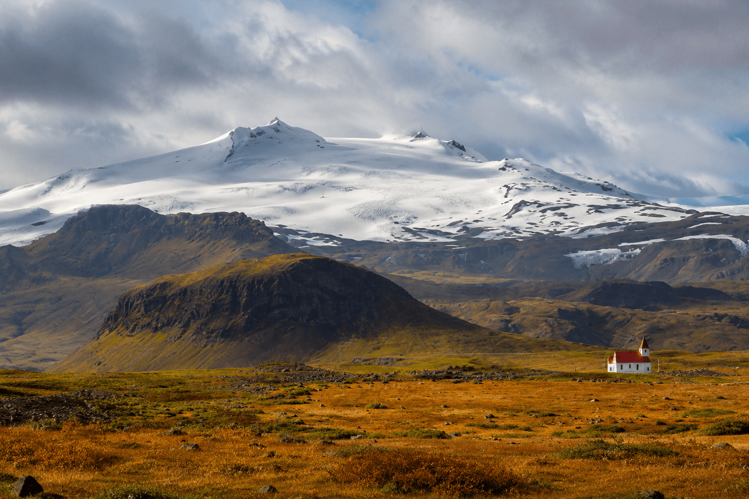
Bardarbunga hides under the Vatnajokull ice cap and ranks as the second highest mountain in Iceland. Earthquakes rattle the area on a regular basis, and the last confirmed eruption dates back to 2014 and 2015, when lava spread across the nearby Holuhraun lava field. No road leads anywhere close, so the only way to see it is on a multi-day highland super jeep tour or a guided glacier trip that includes this part of Vatnajokull. This is really a destination for experienced mountaineers who enjoy remote glacier adventures. If you're looking for an easy day hike, this definitely isn't it.
Kverkfjoll and Snaefell
Kverkfjoll and Snaefell complete Iceland's trio of mountains above 2,000 metres, both hidden deep in the remote Highlands north and east of Vatnajokull. Kverkfjoll is famous for its geothermal ice caves, where volcanic heat melts tunnels through the glacier, creating one of Iceland's most unusual landscapes. Reaching it requires driving rugged F-roads in a 4x4, usually from the Myvatn area, and the marked hiking trails are only accessible during summer. Safe to say, this is another destination for experienced mountain lovers.
Iceland's volcanic glaciers: exploring the ice by snowmobile
If you've already explored Iceland's easier hiking trails and want something more challenging, volcanic glaciers offer a completely different experience. Most require a guide, glacier equipment and good weather, but the scenery is unlike anywhere else in the country.
Snaefellsjokull
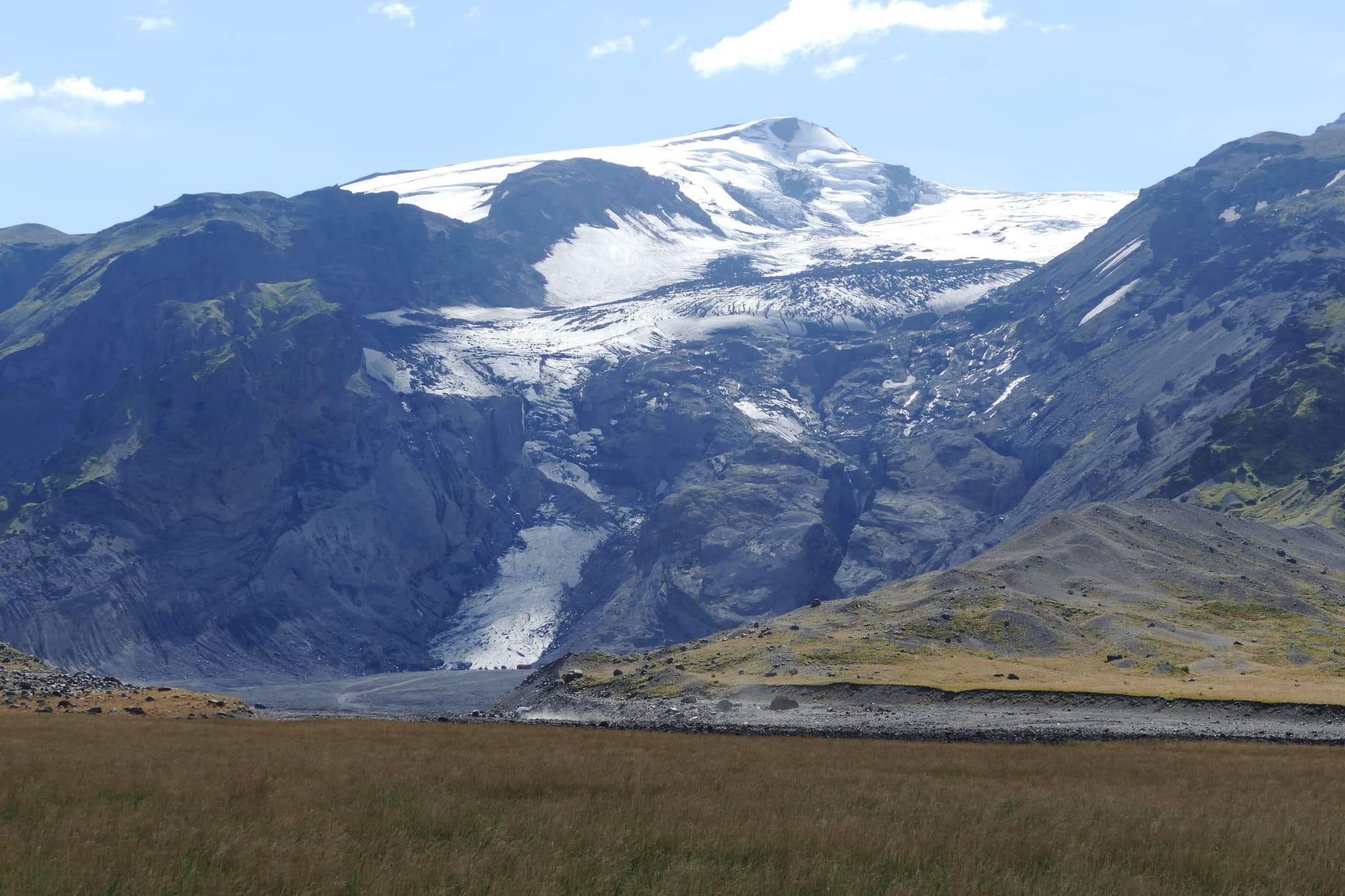
Snaefellsjokull caps the tip of the Snaefellsnes Peninsula as one of the country's most famous Iceland mounts. Its twin peaked summit inspired Jules Verne to use it as the entrance to the centre of the earth in his novel. On a clear day you can spot it from Reykjavik itself, roughly 120 kilometres away. Its summit rises more than a thousand metres above sea level, with views reaching across the whole peninsula. If you'd like to experience walking on a glacier yourself, guided tours leave from Arnarstapi and provide all the equipment you'll need. Rather skip the hike? You can also reach the glacier by snowcat and still enjoy the incredible views.
Eyjafjallajokull
You probably remember hearing about Eyjafjallajökull, even if you've never been to Iceland. Its 2010 eruption disrupted flights across Europe for weeks and put this small volcano on the world map. Today, you can learn the full story at the visitor centre in Hvolsvöllur before heading onto the glacier yourself on a guided super jeep or snowmobile tour.
Wondering where to base yourself when travelling to Iceland? Our guide to where to stay in Iceland covers everything from Reykjavik hotels to remote guesthouses near the highlands.
Flat topped mountains: Iceland's tuyas, and how to explore them
Not every Icelandic mountain rises to a sharp point. Some formed underneath glaciers thousands of years ago and came out with a table-like top instead, and these strange formations count among the most interesting terrain you can hike in the country. Here's what they are and how you can get up close to a few of them.
How a tuya forms
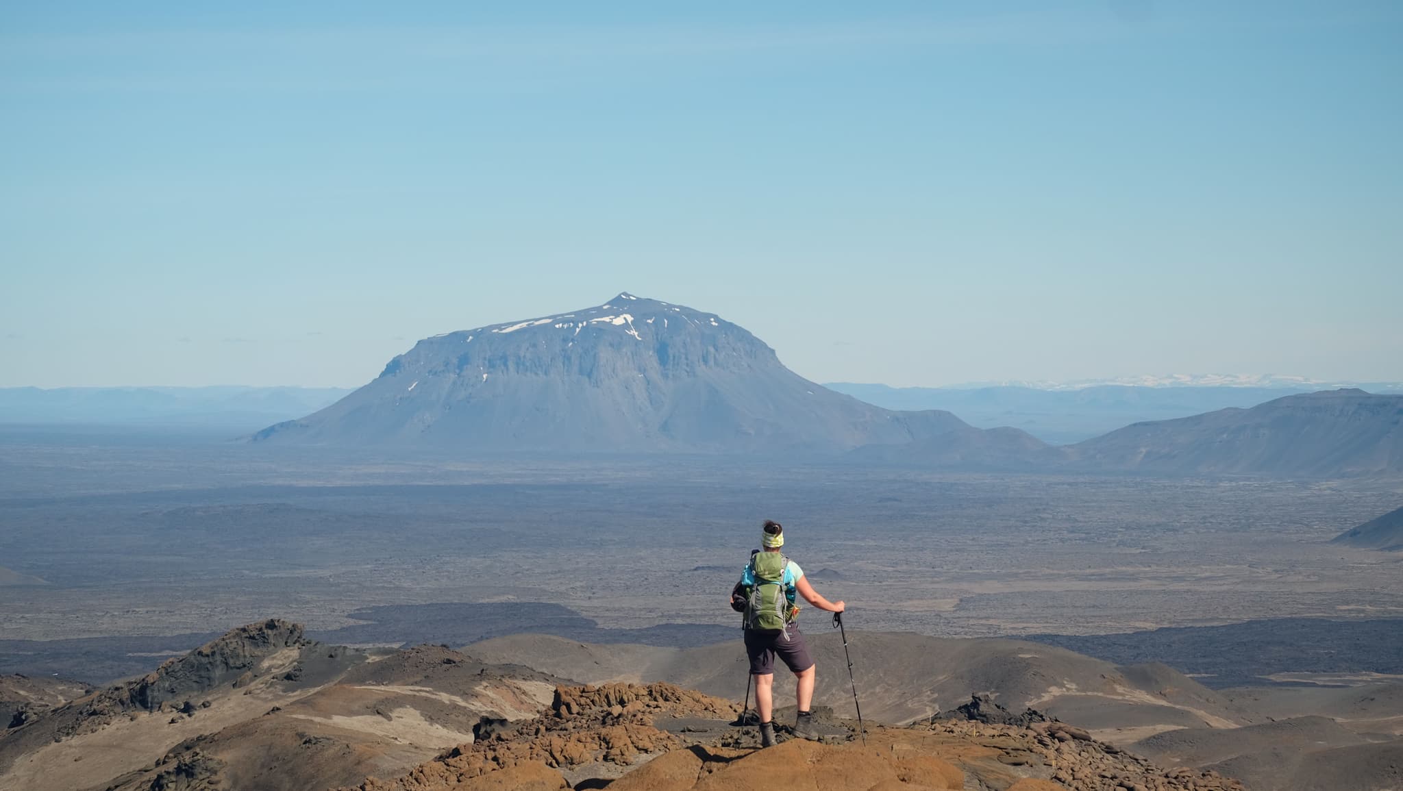
A tuya starts when lava erupts underneath a thick ice sheet rather than in the open air. Cold ice traps the lava, forces it to cool fast, and piles it up into a steep-sided hill instead of letting it spread out. If the eruption lasts long enough, lava eventually breaks through the top of the ice and spreads into a cap, which is how these mountains end up with their table shaped summits. So which tuyas are worth visiting?
Herdubreid, queen of Icelandic mountains
Herdubreid is formed during the last Ice Age by an eruption beneath a glacier. It's one of Iceland's best examples of a flat-topped volcano, known as a tuya. Its summit even hides a small crater lake, though the first successful ascent didn't happen until 1908 because of the mountain's steep cliffs.
You can reach the base via Herdubreidarlindir, a green oasis fed by natural springs in the middle of the Highlands, though getting there requires a 4x4 and driving F-roads. Short marked trails explore the lower slopes, while the summit climb is only suitable for experienced mountaineers, ideally with a guide. Many Guided travellers combine Herdubreid with nearby Askja, one of Iceland's most spectacular volcanic calderas, as both sit within the same remote stretch of the Highlands.
Curious how these mountains fit into a longer Iceland trip? Our Iceland destination guide covers the rest of the country region by region, from the coast to the highlands.
Tuyas that are easy to reach
Burfell, in south Iceland on the edge of the Thjorsardalur valley, gives you a much easier introduction to tuyas. The drive from Reykjavik takes about two hours, and a walkable trail leads up to a summit with views over the valley, the Thjorsa river, and Hekla volcano in the distance. Thorolfsfell, further south in the highlands, is smaller and less visited, with a climb that only takes 30 to 45 minutes and rewards you with panoramic views over Myrdalsjokull and Eyjafjallajokull.
Did You Know? The word tuya actually comes from a mountain in British Columbia, Canada, where this type of landform was first studied.
Remote and colourful mountains worth the detour
If you've got a few extra days and don't mind driving a little further, these mountain regions are some of Iceland's biggest hidden gems. Expect colourful volcanic landscapes, quiet trails and far fewer people than you'll find along the Ring Road.
Landmannalaugar and Laugavegur trail
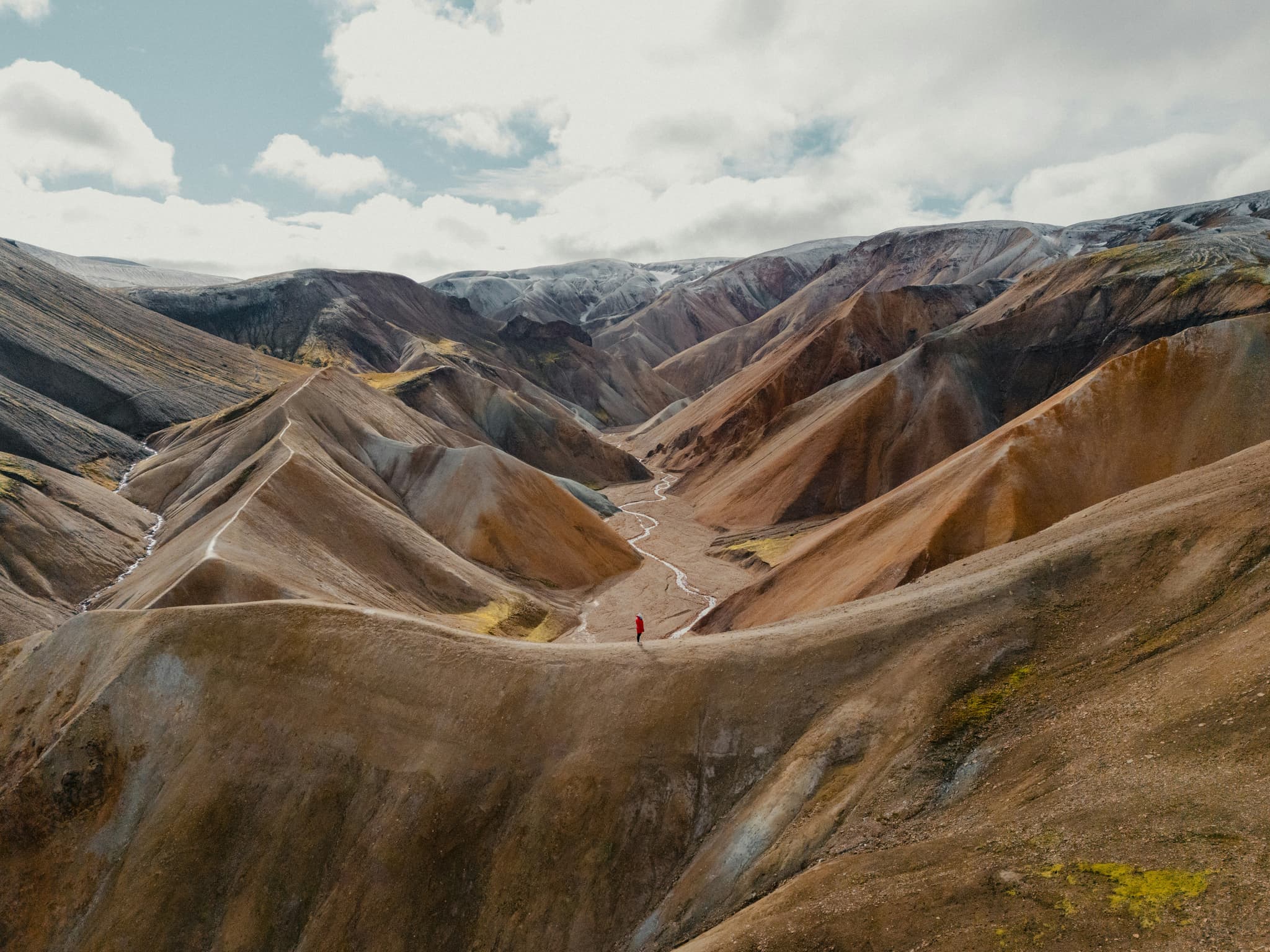
Landmannalaugar spreads across the southern highlands, and its mountains run through practically every colour you can imagine: red, yellow, green, black and purple rhyolite ridges packed close together. You'll need a highland bus, a super jeep tour, or your own 4x4 to reach it, since regular cars can't cross the river crossings on the way in. In just a few hours, day hikes loop through the coloured ridges, and a natural hot spring right by the campsite makes a good reward after you're back down. This is also the starting point for the Laugavegur trail, Iceland's best-known multi-day trek.
Hornbjarg
Hornbjarg towers over the very tip of the Westfjords, inside the Hornstrandir Nature Reserve, and reaching it takes real commitment. No roads lead there, so a boat from Isafjordur or Bolungarvik is the only way in. Plenty of birdwatchers come for the cliffs, and Arctic foxes still roam this part of the country in genuine numbers. Multi-day guided hikes or wild camping are the usual way to experience it properly.
Wondering which other animals you might encounter during your trip? Take a look at our guide to the wildlife in Iceland, from Arctic foxes and puffins to whales and reindeer.
Hiking, skiing and safety tips for Icelandic mountains
Thinking about exploring Iceland's mountains? Weather can change within minutes, and wet volcanic rocks and loose scree can quickly become slippery. Before you head out, it's worth knowing what to pack, when to visit and how to stay safe.
What to pack for hiking in Iceland's mountains
Iceland's mountain weather can change in a matter of minutes, so make sure to pack the following things:
Waterproof jacket and trousers
Sturdy hiking boots with good ankle support
Warm layers that you can easily add or remove
Hat and gloves, even during summer
Plenty of water and high-energy snacks
Fully charged phone and power bank
Paper map or GPS for remote trails
Sunglasses and sunscreen, especially on glacier hikes
When to go: hiking or skiing
Summer, roughly June through August, gives you the longest days and the most reliable trail conditions for hiking. Winter changes the country into a different kind of destination, with downhill and cross country ski at resorts like Blafjoll near Reykjavik and Hlidarfjall near Akureyri running from late November into April. Blafjoll also lies close to Leidarendi, one of Iceland's lava caves, so a ski day can easily turn into an underground detour too.
Not sure which season suits your trip? Our guide to the best time to visit Iceland explains what to expect each month, from hiking conditions in summer to skiing and the Northern Lights in winter.
Guides and permits
Some peaks require a guide: Hvannadalshnúkur, Bárðarbunga and anywhere involving glacier travel all fall into that category, since crevasses and unstable ice make solo attempts genuinely risky.
Others, like Esja, Skjaldbreiður and Búrfell, are marked and straightforward enough for confident hikers to manage alone. Before setting out, check the latest weather and look up current road and mountain access on Road.is, and review safety alerts or submit a travel plan through SafeTravel Iceland.
If your route runs through Vatnajokull National Park, its official site lists current rules, permits and ranger contact details.
Which Iceland mountain fits your trip?
So, which Iceland mountain should you visit? That really comes down to your interests, fitness level and itinerary. We've matched some of the country's best peaks to different travel styles to help you choose.
Easy day hike near Reykjavik: Mount Esja or Keilir
Photography stop: Kirkjufell or Vestrahorn
Multi day highland trek: Landmannalaugar and the Laugavegur trail
Reachable by snowmobile: Eyjafjallajokull
Skiing: Blafjoll or Hlidarfjall
Remote and unique: Hornbjarg in the Westfjords
Want to experience everything Iceland has to offer? Our 1 week Iceland road trip and 3-day Iceland trip take you beyond the mountains to waterfalls, glaciers, lava fields, geothermal pools and beaches.
Enjoyed This Blog? Continue Reading!
There is more travel inspiration waiting for you on our blog. You can take a look below and start mapping out your next travel adventure!


